Show the map
Trail n°13 - Les trois communes


18.7 km
480 m
480 m
 Frayssinet-le-Gélat (46)
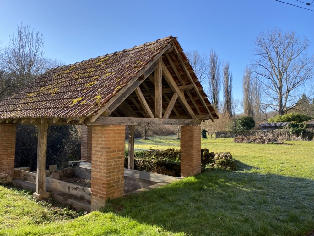
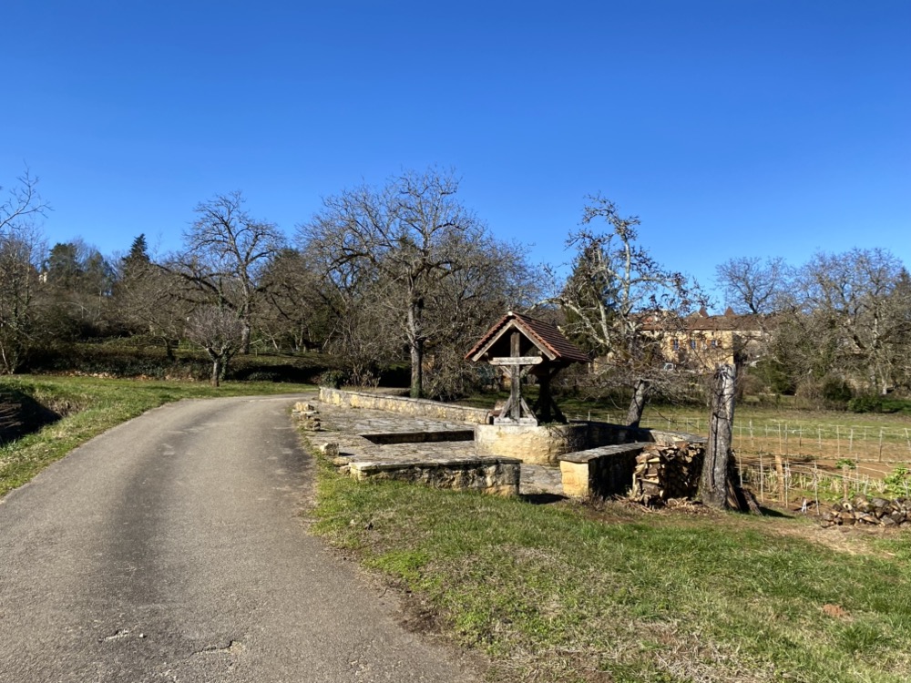
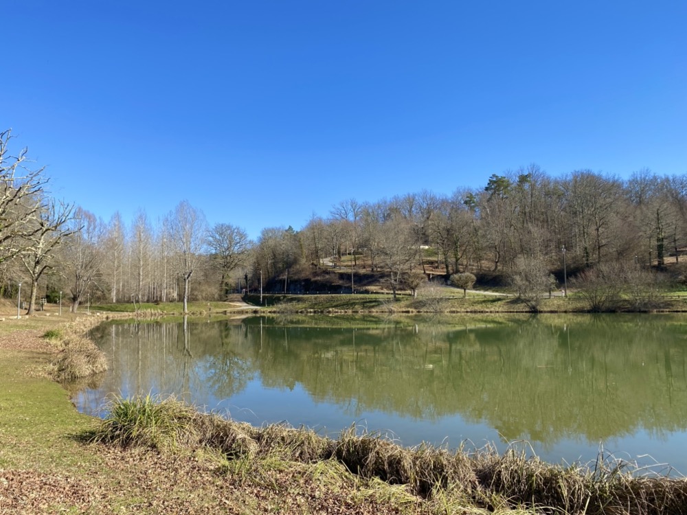
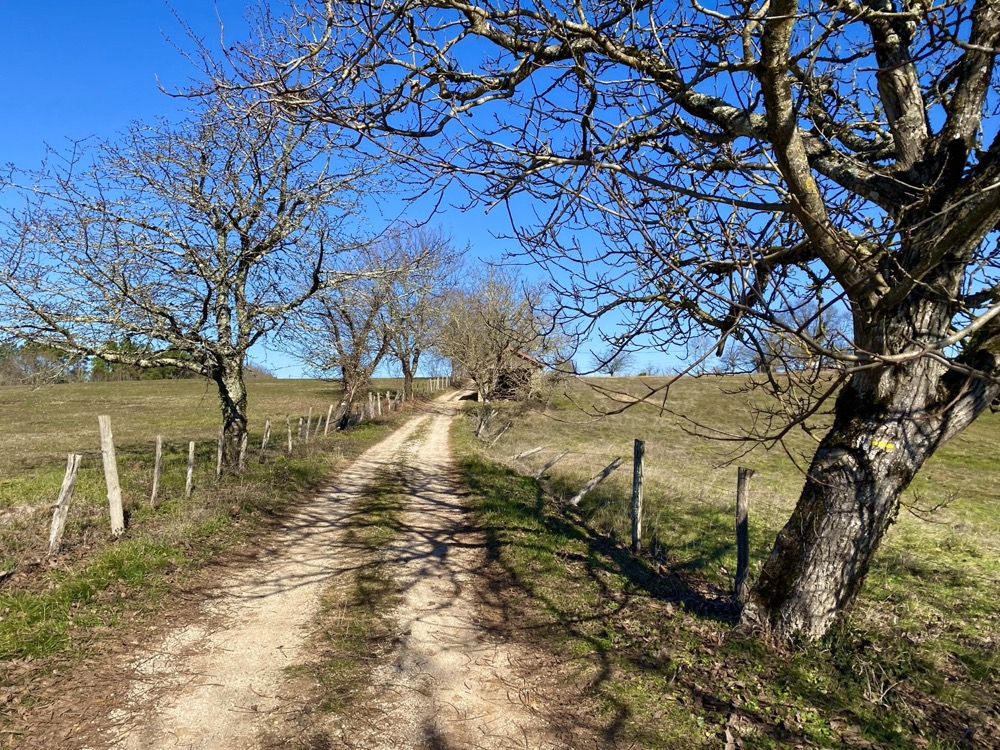
Reliez trois villages à vive allure ! Une petite montée en quittant Frayssinet-le-Gélat puis vous pourrez dérouler jusqu'à Pomarède sur un profil très roulant. La seconde partie de parcours sera plus exigeante avec une succession de montée jusqu'à Fargou après Goujounac, mais toujours sur du terrain facile. C'est un parcours qui se prête particulièrement bien à une sortie en groupe pour se challenger et jouer avec le profil pour accélérer.
Points of Interest table
| Accum. | Intermediary | |||||||
|---|---|---|---|---|---|---|---|---|
| POI | Description | Alt. | Dist. | D+ | D- | Dist. | D+ | D- |
Trace n°214456
Ascent threshold : 0 m Distance threshold : 35 m Smoothing : Yes Origin of altitudes : MNT IGN
Ascent threshold : 0 m Distance threshold : 35 m Smoothing : Yes Origin of altitudes : MNT IGN
Loop
Dominant terrain : Path
Max alti. : 289 m
Avg alti. : 216 m
Min alti. : 162 m
Longest ascent : 130 m
Longest descent : 90 m
Route completed by the author : No
Dominant terrain : Path
Max alti. : 289 m
Avg alti. : 216 m
Min alti. : 162 m
Longest ascent : 130 m
Longest descent : 90 m
Route completed by the author : No
Elevation profile
More tools
Create a new roadbook page
Map and track on your website
Warning ! When you insert a Trace de Trail map on your website, you agree not to hide any element of the module (links to Trail Trail or Trail Connect banner)
Add a realisation
Validate
Add a realisation to share your chrono and describe the conditions that you encountered during you trail running !
Add a comment
Validate
Quercy Outdoor
12/04/24, 08:18:15
Merci beaucoup Acbvl pour vos retours. Nous sommes ravis que les parcours vous ai plu.
12/04/24, 08:18:15
Merci beaucoup Acbvl pour vos retours. Nous sommes ravis que les parcours vous ai plu.
Show the infos
RDV d'ici quelques semaines pour l'ouverture des circuits
Add a track