Show the map
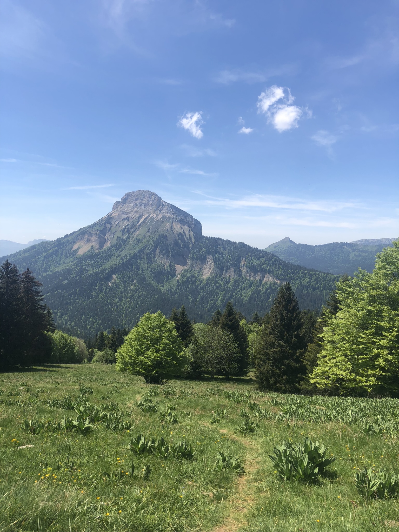
5 - Boucle trail du Roc d'Arguille


16.1 km
1080 m
1080 m
 Saint-Pierre-de-Chartreuse (38)
Boucle trail du Roc d'Arguille
Points of Interest table
| Accum. | Intermediary | |||||||
|---|---|---|---|---|---|---|---|---|
| POI | Description | Alt. | Dist. | D+ | D- | Dist. | D+ | D- |
Trace n°222519
Ascent threshold : 3 m Distance threshold : 35 m Smoothing : Yes Origin of altitudes : MNT IGN
Ascent threshold : 3 m Distance threshold : 35 m Smoothing : Yes Origin of altitudes : MNT IGN
Loop
Dominant terrain : Footpath
Max alti. : 1549 m
Avg alti. : 1152 m
Min alti. : 829 m
Longest ascent : 670 m
Longest descent : 590 m
Route completed by the author : No
Dominant terrain : Footpath
Max alti. : 1549 m
Avg alti. : 1152 m
Min alti. : 829 m
Longest ascent : 670 m
Longest descent : 590 m
Route completed by the author : No
Elevation profile
More tools
Create a new roadbook page
Map and track on your website
Warning ! When you insert a Trace de Trail map on your website, you agree not to hide any element of the module (links to Trail Trail or Trail Connect banner)
Add a realisation
Validate
Add a realisation to share your chrono and describe the conditions that you encountered during you trail running !
Add a comment
Validate
arnaud-vigneron49
14/04/24, 20:35:59
Fait aujourd'hui en 2h45. Pas de difficulté majeure, je ne sais pas pourquoi c'est indiqué fermé. Par contre grosse fringale après 11km. La fin a été très dur car c'est vraiment casse patte.
14/04/24, 20:35:59
Fait aujourd'hui en 2h45. Pas de difficulté majeure, je ne sais pas pourquoi c'est indiqué fermé. Par contre grosse fringale après 11km. La fin a été très dur car c'est vraiment casse patte.
Show the infos
Add a track